
Quick Facts
Accessibility: 9/10 (easy)
Length of Hike: 0.6 miles round-trip
Height: 30′ (over a distance, not a single drop)
The Record
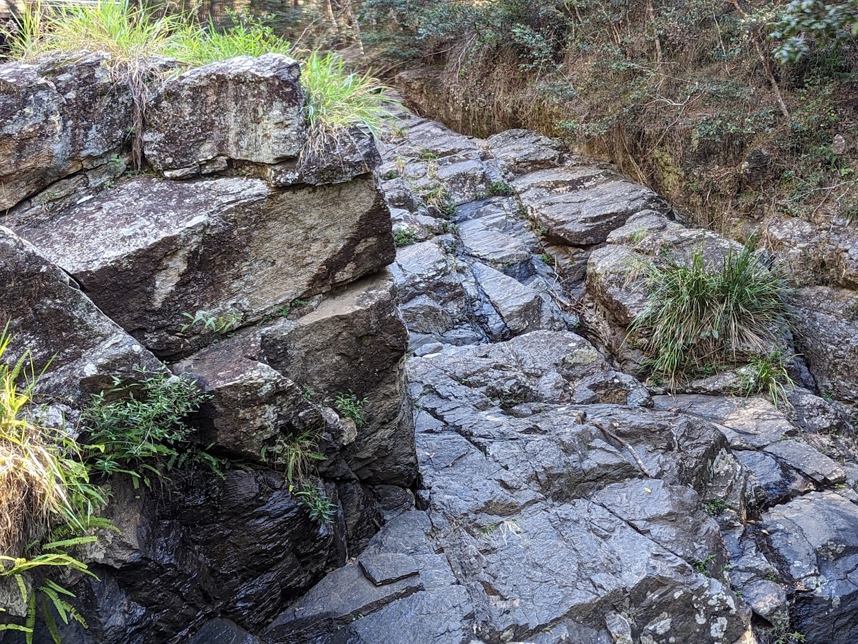
I’ve been trying to decide whether to write about J.C. Slaughter Falls. I have a weird “rule” to write about the first waterfall I’ve seen/visited in a certain province/state. J.C. Slaughter Falls is the first waterfall I visited in Queensland, but there wasn’t any water flowing. I’ve decided to include it because it did have a tiny bit of water near the falls, and it’s also a falls that might be worth a visit if you’re in Brisbane when there’s more rain.
We had visited Melbourne and Adelaide before heading to Brisbane. The day we left Adelaide, it was raining somewhat consistently. The waterfalls outside Adelaide were pretty impressive because of the rainfall. Brisbane is warmer and drier in the fall months, and it was pretty apparent at J.C. Slaughter Falls. It might “look” like the rock is wet, but it really wasn’t much. This is a waterfall that is better to visit after a good rainfall or during the rainy season in Brisbane, which is especially summer in Brisbane. There is another waterfall shown nearby on the map, Simpson Falls. We didn’t visit because of the low flow at J.C. Slaughter Falls.
Directions
- Coming from Brisbane, you’d be headed west. You’d probably approach on State Route 32.
- You’ll reach a roundabout and exit on Metro Road 5.
- At the next roundabout, you’ll exit onto Mount Coot-Tha Road. Continue on this road for 1.5 km.
- The entrance to the park will be on the left after that 1.5 km. Google Maps shows the waterfall being very close to that road, but that is not the case.
- Drive to the parking area along that road. You could head to the “Picnic Area” designated on Google Maps, which is where the hike starts to the falls.
- The hike to the falls is marked with trail signs. It’s a relatively flat hike, though there is a bit of uphill portions along the way.

Leave a comment