
Quick Facts
Accessibility: 1/10 (strenuous)
Height: 181′ / 55 m
Length of Hike: 8.2 miles / 13.2 km round-trip
The Record
The trip to Seven Falls is one of the longer hikes I’ve completed to view a waterfall, and I’ll say this hike is not for the faint of heart. Part of the issue is how it was advertised, at least when I visited in 2009. Experienced hikers may be used to hiking long distances (8 miles round-trip), so websites back then suggested it was an easy hike. This seemed to conveniently leave out that you’re very rarely on a flat surface. Instead, the trek to Seven Falls involves more elevation changes (up and down) than I have probably experienced at most other hikes in the past 20 years.
The waterfall is aptly named for its seven separate drops, and true to form, you’ll also have to cross the stream seven times just to get there. You have to climb up and down large boulders for the first two-thirds of the hike. This hike starts to wear on the knees and feet more than most. And again, it’s probably not bad if you know what to expect. Neither my dad nor I was as prepared as we could have been, but that didn’t beat the family with a grandmother who had just recently had knee surgery…Again, the advertising at the time made this seem like a simple hike. Because of the rugged terrain, a few things are non-negotiable: bring a good amount of water, wear excellent hiking shoes, and don’t go if you’ve had surgery recently!
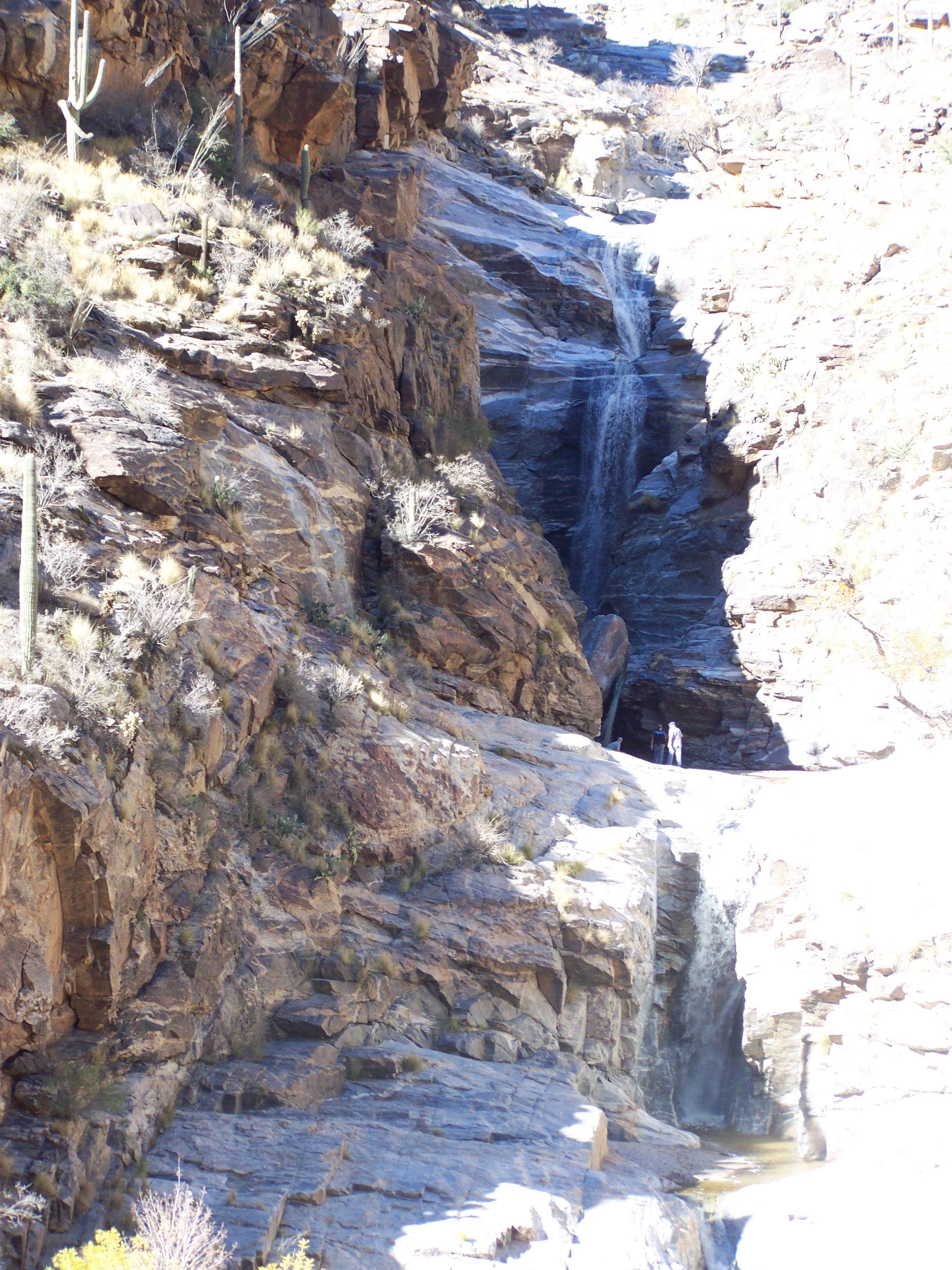
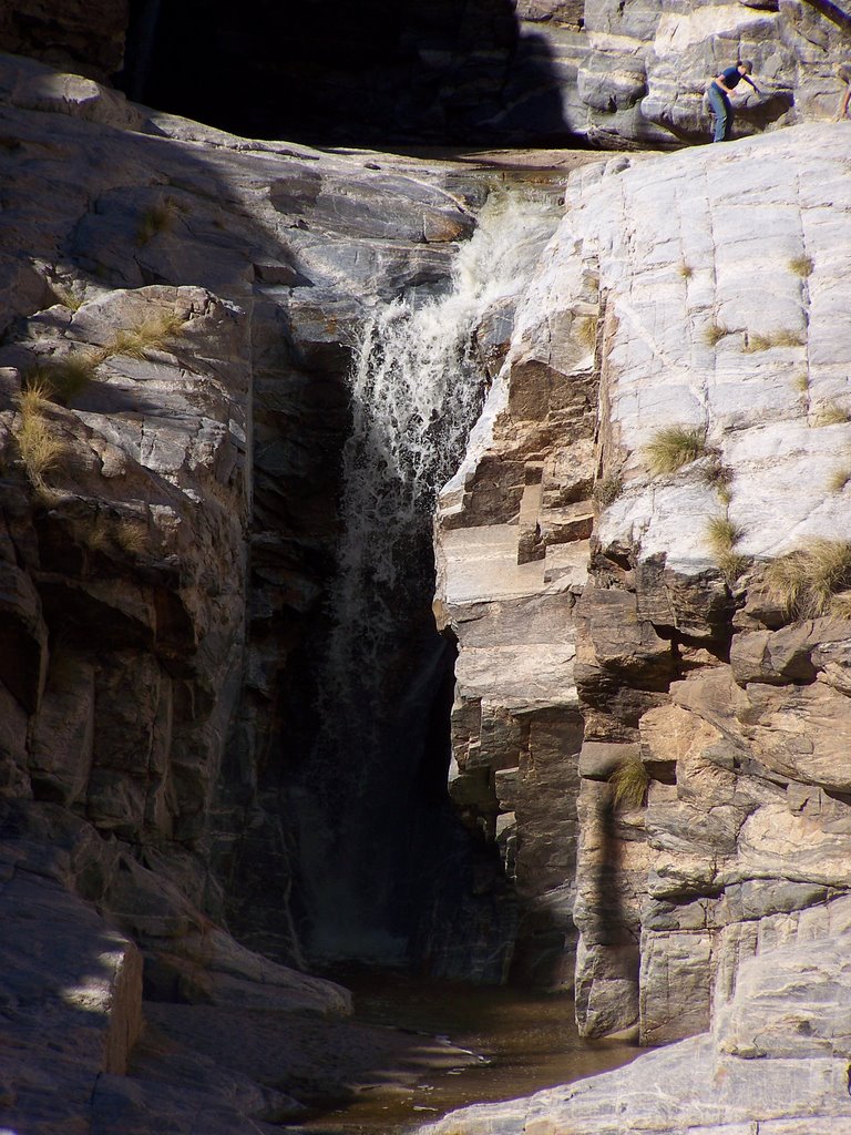
The final third of the hike (or so) is uphill with steep-ish switchbacks in this portion. I didn’t mind this as much, but as someone who is not a fan of heights, the trail was rather narrow, and there were some steep dropoffs…I didn’t reach the falls, but I could see the falls from across the canyon, maybe a few hundred feet away. In 2009, I didn’t have the greatest of cameras, but I was still able to view the full falls and zoom in fairly well from this vantage point. I was content and felt ready to start the journey back. If you want to shave off about 2 miles, you can opt to take the tram, which I’d highly advise to reduce exhaustion.
Directions
- You want to get onto Tanque Verde Road.
- From Tanque Verde Road, you will turn north onto Sabino Canyon Road.
- Head north on Sabino Canyon Road to the entrance of the Sabino Canyon Recreation Area.
- Enter, pay the entrance fee, and park.
- Choose one of the two options: Take the tram closer to the falls, around 6 miles round-trip, or hike the whole distance, around 8 miles round-trip.


Leave a comment