

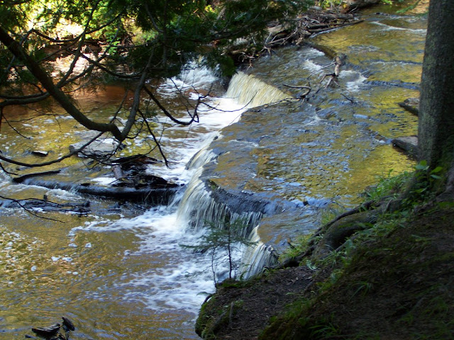
Haymeadow Falls is not tall. It’s very short, being only about 2′ tall. It’s a very pretty waterfall, but the waterfall isn’t near many other waterfalls in the Upper Peninsula. Rapid River Falls isn’t that far away as the crow flies, but is further in terms of driving distance. As in many rural areas in the United States, there is not a complex road system in the Upper Peninsula. This isn’t surprising, considering not that many people would even use them! Numerous rivers in the area also lead to a longer than expected drive to get to Haymeadow Falls.
The area around the falls is beautiful, though. I imagine that in the fall it is truly spectacular. The hike to the falls was beautiful, though rather isolated. The falls is located very near a Hiawatha National Forest campground, which I’m guessing is busier in the summer season.
Directions:
- From Rapid River, MI, take US-2 east for about 1.5 miles to Delta County Road 509.
- Turn left on County Road 509 and head north for 9+ miles. (The road branches off frequently, so make sure to stay on 509.)
- You will see a sign for the Haymeadow Creek Campground. I think you may be able to park there. You can also pass that sign and park in the next parking area, which is specifically for the falls and hikers.
- From there, look at the sign with a map to get a sense of where the falls is, and then begin the hike.
Accessibility: 8/10 (easy/moderate)
Height: 2′
Length of Hike: 0.6 miles round-trip
Where in the World is Haymeadow Falls?

Leave a comment