
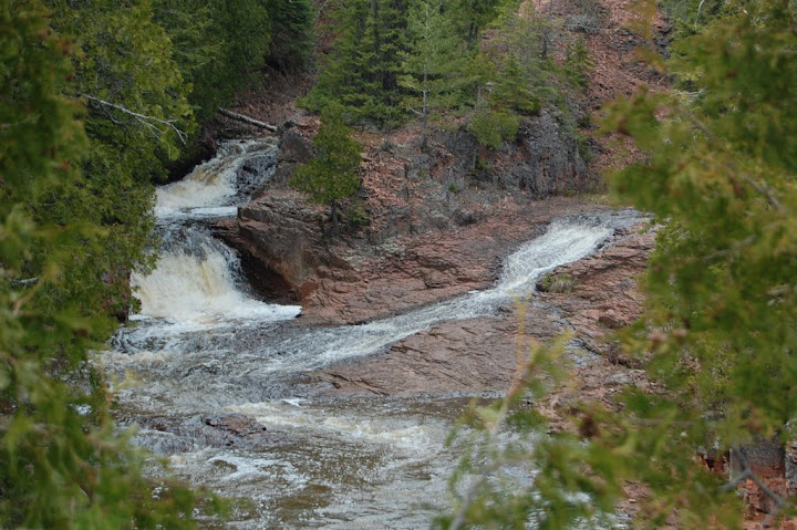
Split Rock River is an interesting river on the North Shore of Minnesota. I guess I will admit, though, that I didn’t find it to be the *most* interesting river there. There are a number of drops along the river, and a few of them are pretty big…but they’re hard to see. The drops that are easy to see are smaller and less significant. I walked about 2 miles or so to see a few different drops, but really can’t say that any one of the stood out in my head. I will mention that every time I see one of the pictures, I think of the intensely red rock around the falls. If you’re in the area, and you have a lot of time to kill, this might be a good choice to see a few unique drops…Otherwise, I would skip it for other falls.
Directions:
- Heading north on MN-61 along the Lake Superior shoreline, you’ll enter Split Rock State Park. The Split Rock River is very close to the southern boundary, and so you’ll see the parking area.
- A sign indicating the Split Rock River is your best bet at identifying the parking lot for the falls. It is a smaller parking lot used frequently by fisherman. At the start of the trail head, you’ll see a sign indicating the trail.
- After about 0.5 miles, you’ll come to a fork in the trail. Head along the right fork, where you’ll soon come to West Split Rock River Falls. Keep heading along that trail, which goes on for a considerable distance. I only traveled about 2 miles along the trail (one-way).
Accessibility: 6/10 (moderate)
Height: 20′
Distance of hike: 0.5 to 2.0 miles one-way, depending on how far you’d like to go…and it keeps going.
Where in the World is Split Rock Falls #5?

Leave a comment