
Quick Facts
Accessibility: 10/10 (easy)
Height: 180′ / 55 m
Length of Hike: Roadside
The Record
Cullasaja Falls is an easy but difficult waterfall to visit. I passed by Cullasaja Falls during my first visit to the area in March 2009, but I didn’t stop to view the falls. At that time, I believe I was heading north on US-64. There is very limited parking, and heading north, it’s extremely difficult to turn around into the dirt area for parking. I guess I decided against turning around, for whatever reason.
On my return to the area in 2017, I was headed south along US-64, GPS location was better by then, and it was easier to locate the falls and park when heading south. You don’t have to turn around to park, though I still felt parking there was a task that required precision and attention. The road is very winding and curvy in this area, and you can’t always tell if cars are coming.
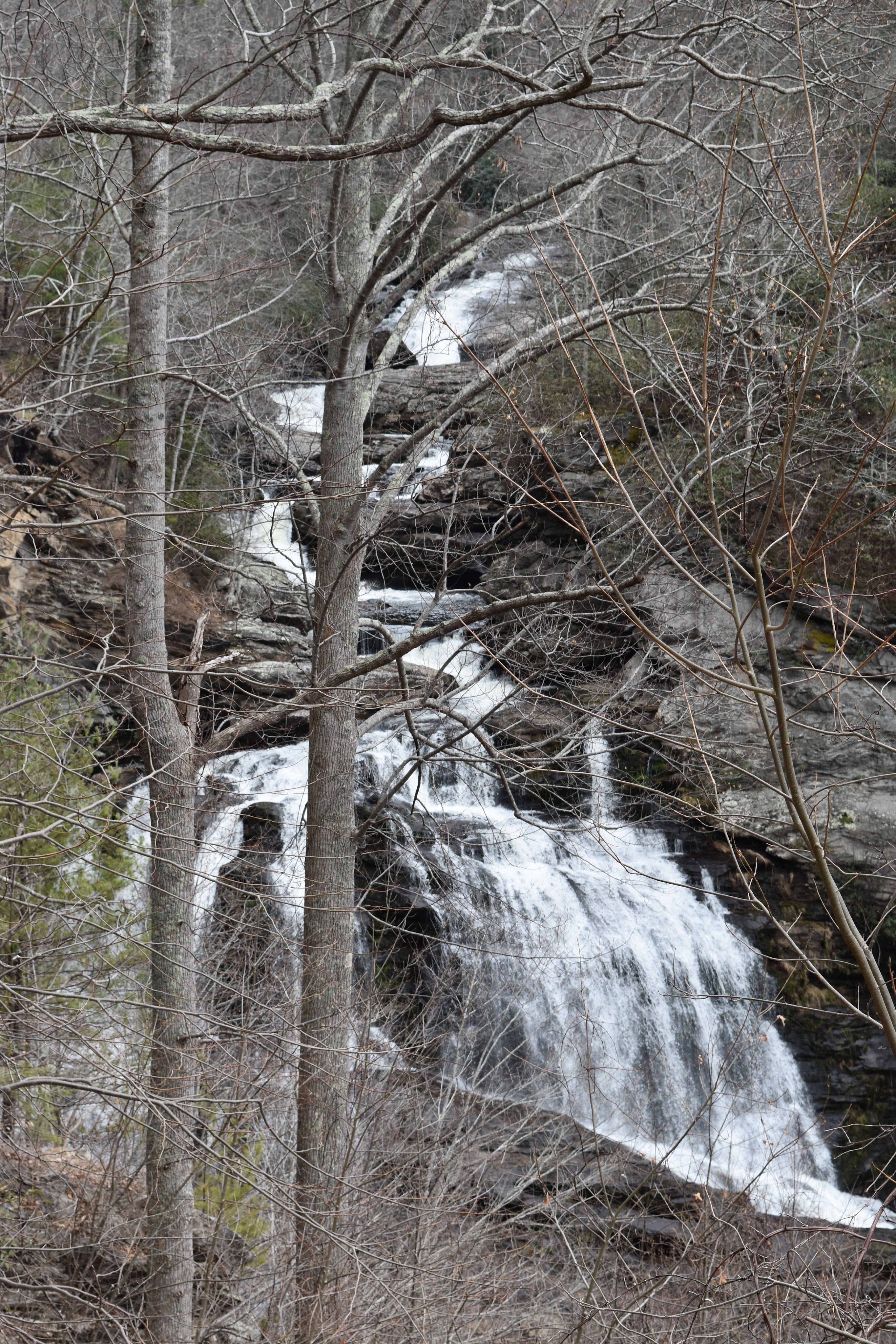
The falls are taller than they look. They are a cascade-type waterfall with many trees blocking the view. The best time to view Cullasaja Falls is during the months that leaves are not on the trees! In the summer, I’m not sure how much of the falls you’ll be able to see…and it isn’t particularly practical or safe to get closer to the falls, from what I gather. Two falls further south, Dry Falls and Bridal Veil Falls, are much easier to visit and aren’t blocked by trees. I would recommend spending more time at those falls and the many other falls in this waterfall-rich section that encompasses the Blue Ridge Mountains in North Carolina, South Carolina, Georgia, and Tennessee.
Directions
- Cullasaja Falls is found along US-64. The key is to head south along US-64 from Franklin toward Highlands.
- The parking area will be found on the right side of the road if you’re headed south. It can help to set your GPS to the specific location and then drive very slowly as you approach the parking area.


Leave a Reply