
Quick Facts
Accessibility: 7/10 (easy/moderate)
Height: 6′ / 2 m
Length of Hike: 0.4 miles / 0.6 km round-trip
The Record
I’ve been to Michigan’s Upper Peninsula many times now, and I’ve visited the Marquette/Negaunee/Ishpeming area a whole lot. If you’re looking for a lot of waterfalls, this area is top notch! So I guess I find it kind of odd that I hadn’t searched for Ely Falls until this year, more than 20 years since I first visited the area and around the same time since I started waterfall hunting. After finding a portion of Ely Falls, I don’t know if I’d go out of my way to the falls, but the area is beautiful.
Marquette County Road 476 leads almost directly south from Ishpeming, and the trail is found directly off of 476…But it can be difficult to find the trail. Google Map reviews were generally helpful, but some mention signs for the falls that don’t currently exist. You almost have to be hawkeyed to see the faint foot trail that leads toward the falls. Other trails/pathways seem more obvious along the way, but they don’t lead to the falls. It’s the faint path on the east side of the road you’re looking for!
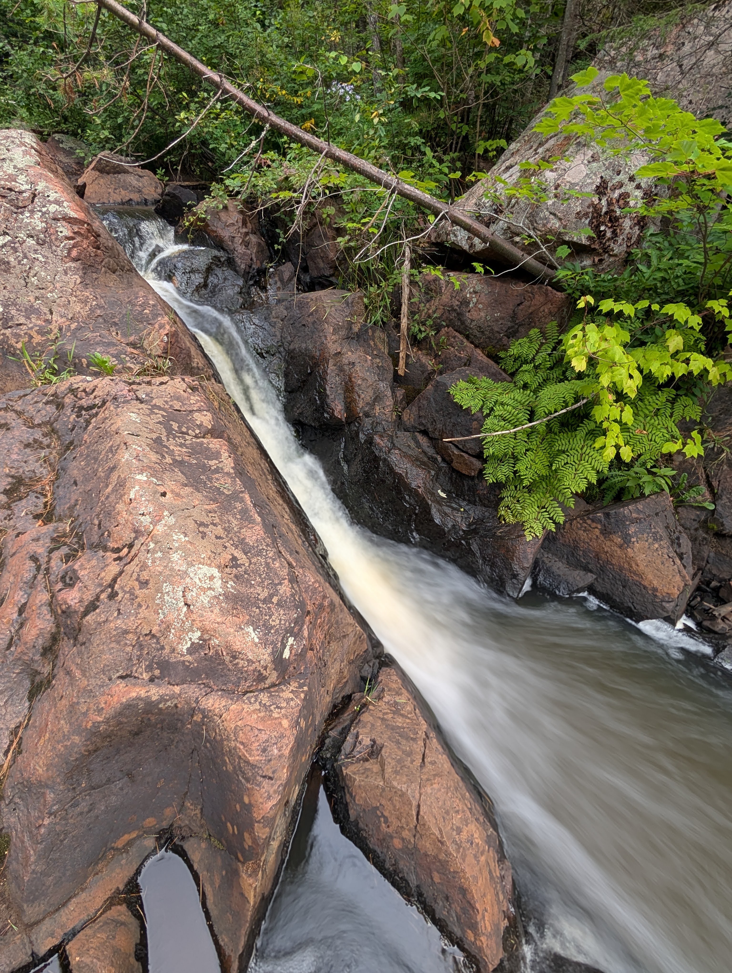
We parked at the start of the faint trail, and it’s honestly not a difficult hike, but there are some choices to make. First, you’ll come to a fork in the trail after climbing a bit uphill. You’ll want to take the left branch. The area and hike were honestly beautiful! As you approach Ely Creek, you know you’re on the correct path if you’re suddenly heading downhill some massive granite rocks. You’ll hear the creek flowing, though it’s a somewhat sloped/steep final few hundred feet (at most) to the creek.
There are likely multiple drops on Ely Creek, so what we viewed might be one portion. Some of the photos on Google Maps are NOT of Ely Creek, though, but Black River Falls a few miles away. The vegetation was lush in August, but I’m guessing the creek will be flowing more intensely in the spring. I had my nephew and niece with me, so we didn’t explore much further up or downstream.
Directions
- From US-41, you’ll want to head south into Ishpeming, likely along Lakeshore Drive (MI 28-B).
- In Ishpeming, Lakeshore Drive continues to the east as Division Street, or to the west as Greenwood Street. Turn west onto Greenwood St.
- On Greenwood St., turn south/left onto Washington Street. Drive 3.5 miles south on Washington Street, which will turn into County Road 476.
- Now here’s where it get’s tricky…finding the faint trail. County Road PG will be on your left as you drive south on CR 476. Drive past that, but keep a lookout on the opposite side of the road.
- Before you reach County Road PFD (or very close to that intersection), the trail will be on the left/east side of the road.
- Once you find the path, follow it, but veer left when you reach the fork in the trail.


Leave a Reply